Bruno Gavazzi, Enerex
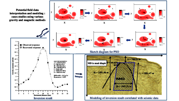
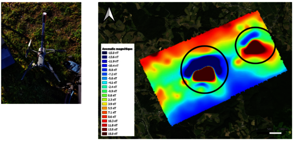
Les méthodes potentielles comme solutions d’imagerie multi-échelle et haute résolution dans le cadre de la transition écologique: recherches, développements et applications chez Enerex Enerex est une startup au statut de jeune entreprise universitaire (JEU) à forte part de R&D. Spécialisée dans…
Thibault Clauzel, CEA
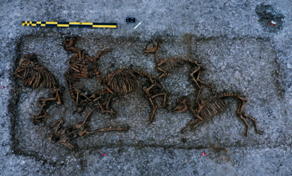
Stable isotope study of bone and dental remains from Northern Gallic populations during the Second Iron Age: climate, diet, migrations The Gauls occupied the Western Europe territory during the Second Iron Age (500 BCE - 50 BCE). Originating from the Celts, the Gauls gathered in tribes and…
Quentin Chaffaut, METIS, Sorbonne Université
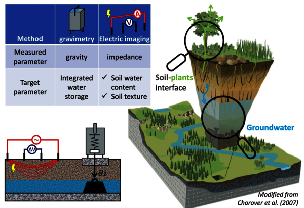
How can geophysics help characterize groundwater dynamics and water fluxes at the soil-plants-atmosphere interface? The critical zone is the thin layer of the Earth's surface that supports most of the terrestrial biosphere. It is a coupled system involving the atmosphere, hydrosphere and biosphere,…
Serge Sambolian, ITES
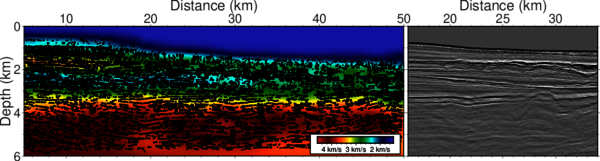
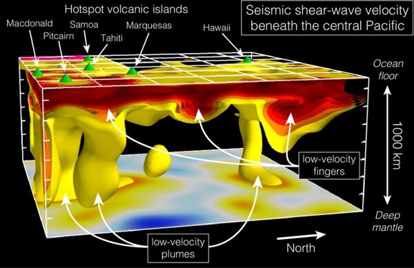
High-resolution seismic imaging: from tomography to full-waveform inversion. Can we exploit our data in a better way? In active seismic imaging, the tomographic macro-model is seen as a smooth representation, containing only the long wavelength components, of the exact subsurface model. We often…
Jean-Philippe Malet, ITES
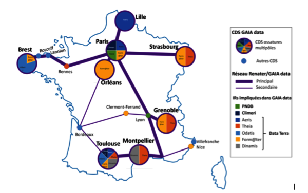
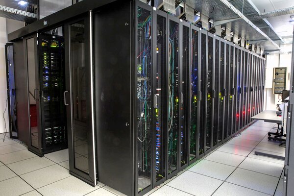
Le noeud ossature de l'infrastructure numérique GAIA-DATA à Strasbourg : point d'avancement et opportunités pour la communauté EOST - ITES Le projet GAIA-DATA a pour objectifs de faciliter l’accès aux données et à des services d’analyses pour étudier les grandes questions du système Terre, autour…
Clara Jodry, ITES & UFAZ
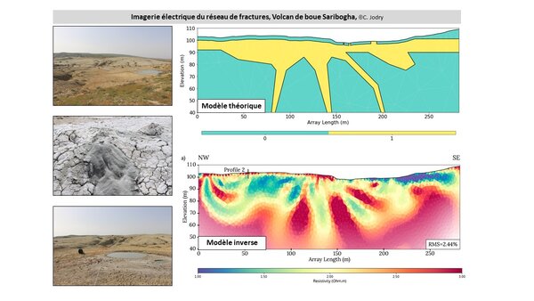
Hydrogéophysique 4D – Imager les structures et suivre les circulations de fluides dans les zones endommagées Les premières centaines de mètres de la subsurface présentent des milieux géologiques dynamiques et complexes. Les interactions fluides-roches-structures génèrent notamment des processus…
Nicolas Harrichhausen, ISTerre & IPGP
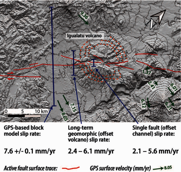
Determining active fault kinematics in paleoseismic studies and the implications of temporal and spatial slip-rate variability for seismic hazard assessment I will present methodologies for determining fault kinematics and earthquake histories in paleoseismic studies on southern Vancouver Island,…
Flore Rembert, Université d'Orléans
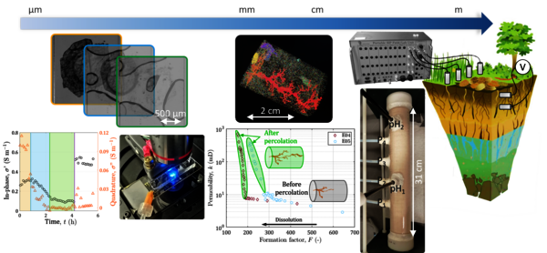
Multi-scale geoelectrical characterization of critical zone processes The critical zone is the near-surface environment that supports most drinking water resources and continental life. The study requires an interdisciplinary approach based on the characterization of the mechanisms involved between…
Exposition artistique sur la thématique de l'eau et des sols
Exposition artistique en face de la manufacture des tabacs dont une partie constitue le projet d'étude master d'étudiants de la HEAR. Ces étudiants ont visités plusieurs sites d'Alsace sur la thématique de l'eau et des sols, dont l'OHGE. On y trouve notamment un travail sur les scolytes.
Matthias Hinderer, The Technical University of Darmstadt
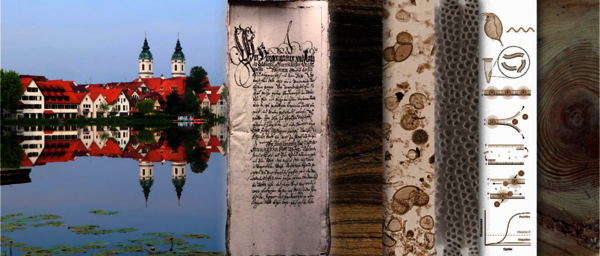
Impact of medieval and modern cities on lakes and landscapes – an interdisciplinary case study from southern Germany Lakes next to prehistoric and historic urban settlements were exposed to human activities much earlier than the often-assumed natural reference conditions before 1800 AD. The direct…
Roberto Rizzo, University of Florence
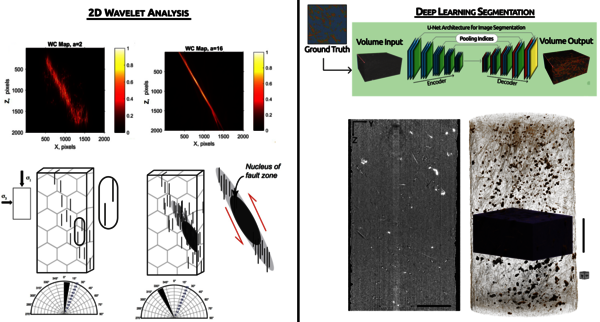
Pixels Rock: A Journey from Simple Segmentation to Deep Learning Techniques to Unravel Deformation in Rocks Short Abstract: In the presentation "Pixels Rock: a journey from simple Segmentation to Deep-Learning Techniques to unravel deformation in rocks," we embark on a comprehensive exploration of…
Journée scientifique du CFMS à l'EOST, le 17 novembre 2023 - Congélation artificielle des sols
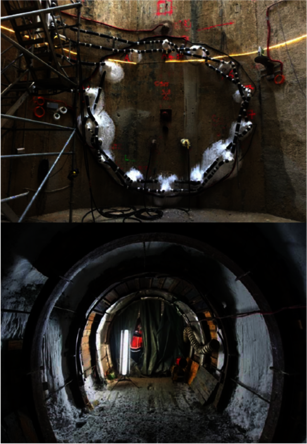
Le CFMS vous invite à sa prochaine Journée Scientifique et Technique qui aura lieu à Strasbourg le 17 novembre 2023 dans les locaux de l’Ecole et Observatoire des Sciences de la Terre (Amphithéâtre TERRE à la Manufacture des Tabacs à la Krutenau). Les derniers grands travaux de tunnels…
Claire Lauvernet, INRAE Centre Lyon-Grenoble
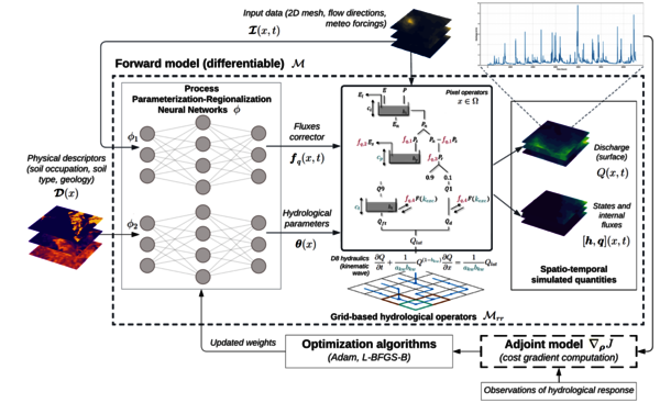
Data assimilation to quantify and reduce uncertainty in ecohydrology modelling Physically-based models represent detailed surface/subsurface transfer, but the required spatial information does not allow their operational use. In situ data on pesticides in a catchment are usually rare and…
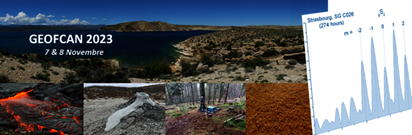
13ème colloque Geofcan, 7-8 novembre 2023, organisation par ITES/EOST et la communauté scientifique
Le 13ème colloque Geofcan (7-8 novembre) aura lieu à Strasbourg, collège de l'école doctorale. Informations: https://geofcan2023.sciencesconf.org
1ères Rencontres Epos-France
Les 1ères Rencontres Epos-France se dérouleront du mardi 7 novembre au vendredi 10 novembre 2023, à Saint-Jean-Cap-Ferrat, près de Nice. Elles sont ouvertes à tous les chercheurs, étudiants et ingénieurs intéressés par les données Epos-france. Ces quatre jours seront consacrés aux discussions et…
Victor GARCIA, Pontifical Catholic University of Perú
Structural and neotectonic features of the Cordillera Oriental and Santa Bárbara System, Central Andes of NW Argentina In this presentation I will show the main results obtained during more than 10 years of research on the characterization of Quaternary tectonics and identification of potential…
SEMINAIRE Jesus Carrera, Spanish National Research Council
Salle du conseil, 13h