A multidisciplinary journey into permafrost hydrology
Abstract: In regions of high latitude or high altitude, global warming is altering the thermal regime of perennially frozen ground, known as permafrost. Permafrost thaw reshapes the land surface and modifies surface water distribution, thereby exposing populations to water supply insecurity and to an increase in natural hazards (e.g., landslides, coastal erosion, or soil subsidence). In this seminar, we will see how near-surface geophysics and numerical modelling can be applied to monitor the cryohydrogeological state of the ground and anticipate thaw-related disturbances. I will first present a multi-geophysical investigation of a thermokarst pond – a typical landform caused by the thaw of ice-rich permafrost. Then, I will introduce the CryoGrid community model, a physically based tool that allows exploration of the interconnections between climate, land surface properties, and hydrology in permafrost areas.
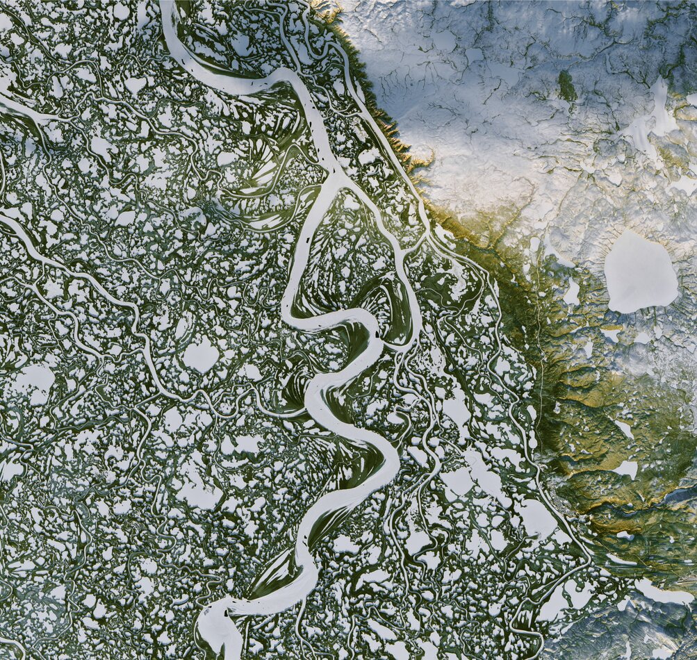
Image Credit: NASA Earth Observatory images by Joshua Stevens, using Landsat data from the U.S. (Depicting the frozen Mackenzie River near Inuvik (Canada) on November 7, 2016).